
Technology & Equipment
Cutting-edge tools for millimetre-level accuracy
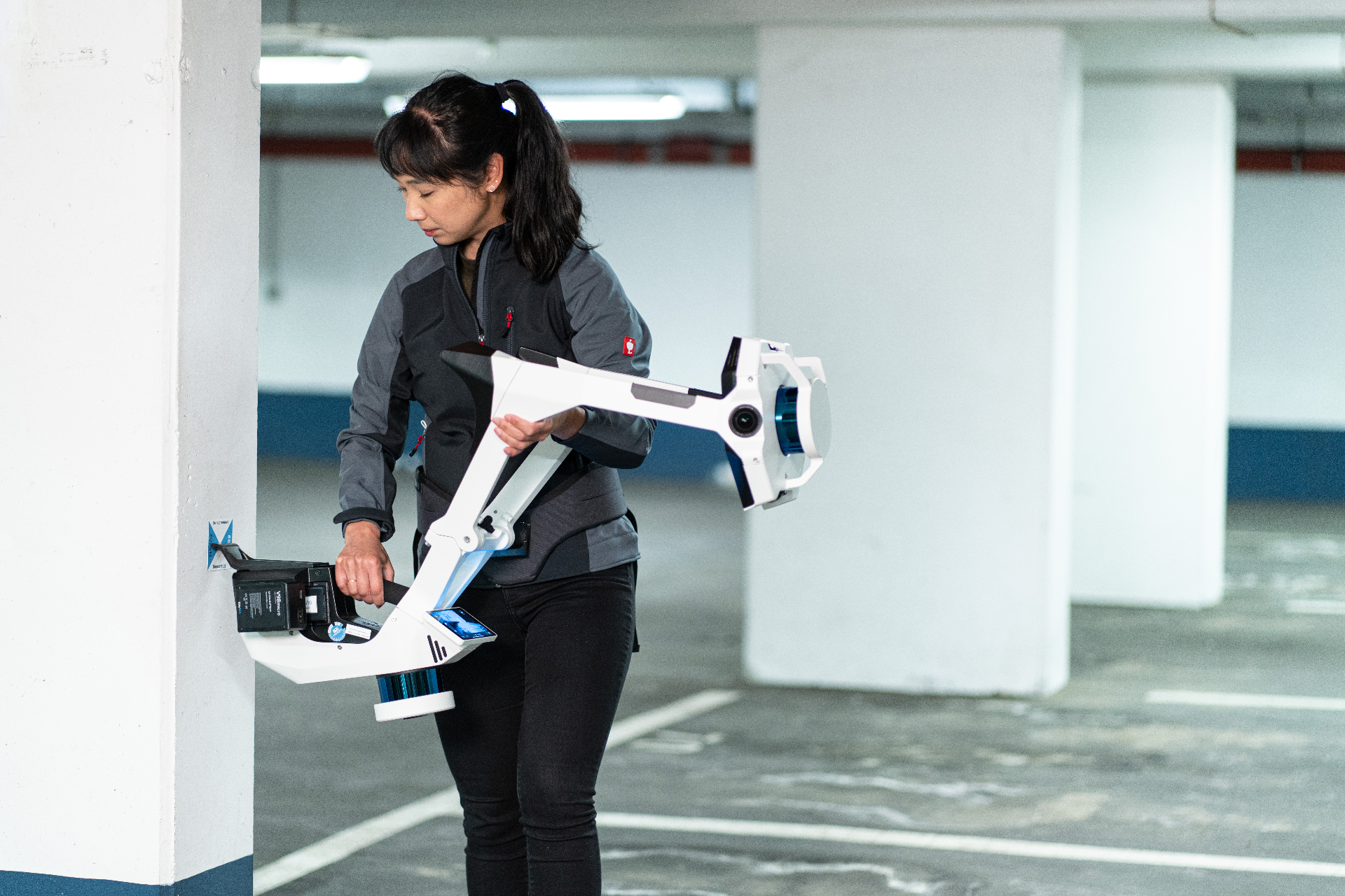
Our operator performs a complete building survey with a latest-generation mobile 3D LiDAR scanner, complemented by drones and GPS geolocation.
Primary equipment
Ultra-high-performance 3D LiDAR scanner
Latest-generation European (German) technology for surveys of unmatched accuracy.
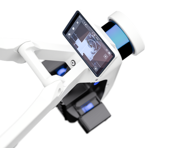 Made in Germany
The scanner captures the entire building — interior and exterior — in record time. High-resolution HDR photos are automatically integrated into the point cloud for a faithful reproduction of textures and colours.
Advantages of 3D surveying
A fast, flexible and non-intrusive process suited to all building types.
Fast and flexible survey
Interior and exterior captured in a single visit, without complex installations.
Business continuity
The scan is non-intrusive: occupants can continue their activities during the intervention.
Geolocation & surveying
GPS geolocation and boundary surveying available as options for precise calibration.
Multiple measurement tools
Various tools and sensors deployed according to each mission's specific needs.
Our other tools
In addition to the LiDAR scanner, we deploy equipment adapted to each situation.
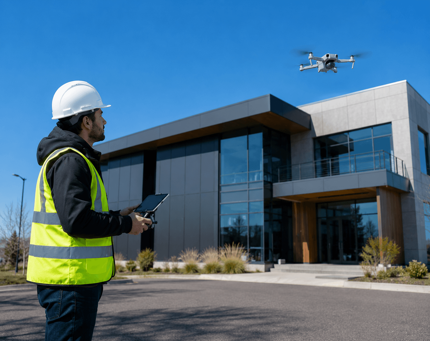
Drone survey
For roofs, high-level facades and large-scale sites. High-resolution aerial photogrammetry.
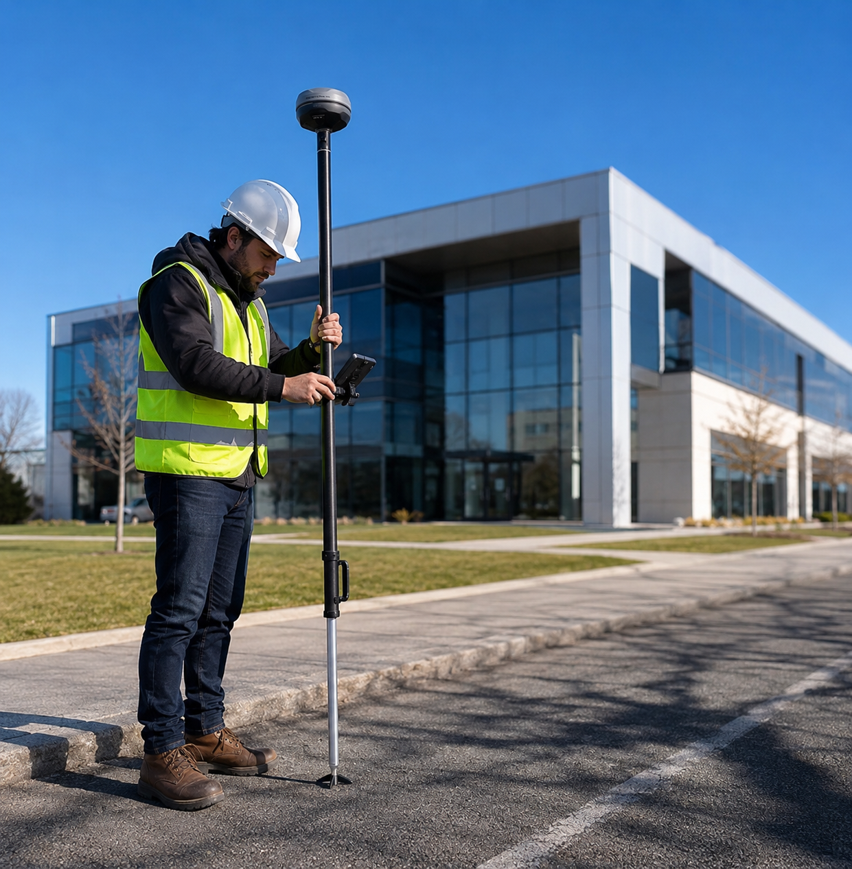
GPS geolocation
Centimetre-level positioning for calibrating surveys to official coordinate systems (Lambert).
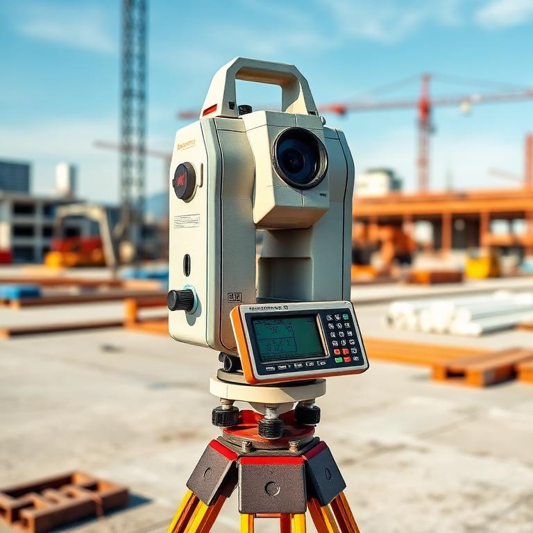
Total station
Complementary precision measurements for control points and geodetic referencing.
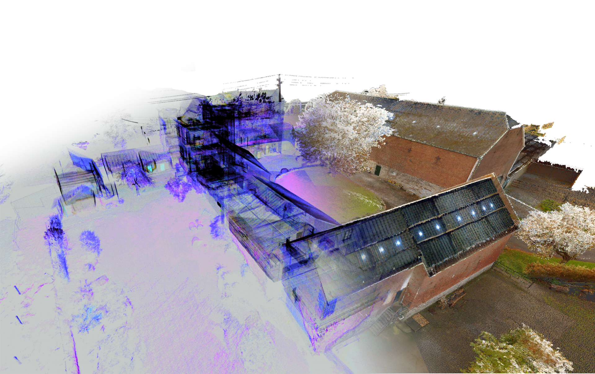
Point cloud
The scan result is an ultra-dense colourised point cloud. Panoramic image pixels are enriched with laser data, allowing you to interact with scanned spaces as if you were on site.
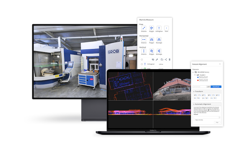
Whether you use static scanners, drones or our mobile scanner, datasets can be combined, automatically aligned and published directly online.
Digital twin
Your buildings are transformed into smart spaces accessible to all stakeholders from any web browser. Available within 48 hours, hosted online for 12 months (extendable). Publish and share your 3D buildings as URLs — no software or plug-in required.
Quality & expertise
High quality standards and strategic partnerships for flawless deliverables.
Drawing quality certificate
Every deliverable goes through a rigorous quality control: over 60 verification points by a qualified architect, guaranteeing compliance and usability of the plans.
ISO 9001:2015 certification
Our processes are certified according to the ISO 9001:2015 standard, ensuring consistent quality and full traceability of every mission.
Collaboration with Bureau Ledoux
For more complex projects (co-ownerships, industrial buildings, listed heritage), we collaborate with the Ledoux surveying firm, bringing complementary expertise in metrology and land law.
Want to learn more?
Contact us to discuss your project and discover how our technology can meet your needs.